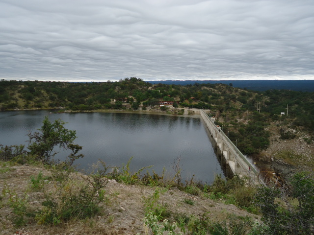

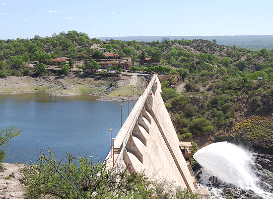
Built between 1966 and 1978 for irrigation and flood mitigation. It has a reservoir area of 440 Has. And a height of 53.30 meters. It allows the practice of aquatic activities without motor and fishing. Its main tributary is the river Salsacate and by the same water, being lost in the proximities of the Great Salinas.
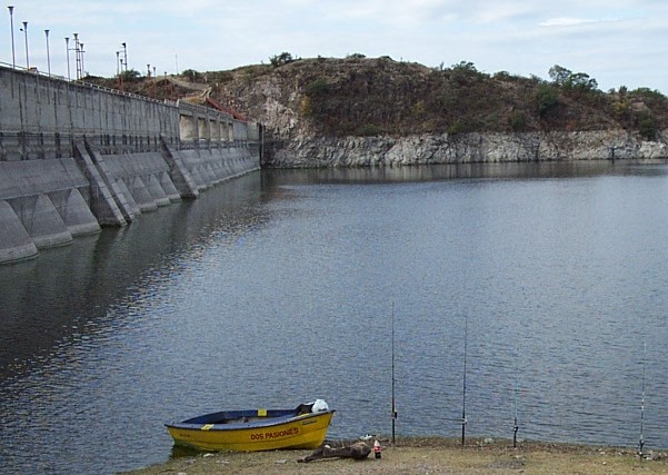
Leaving Villa de Soto by national route Nº 38, towards the Rioja, exactly at km 158 of the National Route (after traveling about 11 km), you reach the access of the Pichanas Dike. From there you have to travel about 10km. To the south by the asphalted road that arrives first to the enterprise of Piedras Amontonadas and from there to 600 mts. Is this water mirror characterized by its unique landscape in the Sierra de Guasapampa.
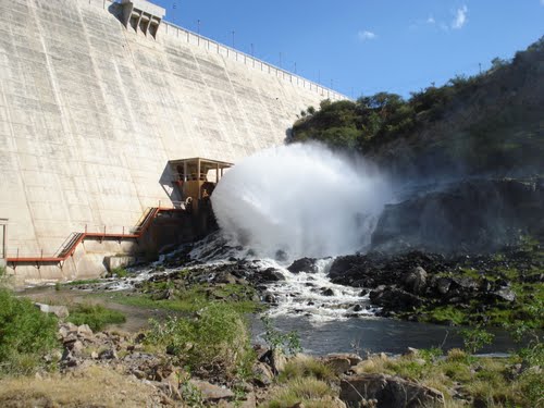
Located to the west of the Cumbres de Gaspar, it gathers the waters of the eastern slopes of the Guasapampa and Serrezuela mountain ranges, as well as the volcanoes of Pocho, the homonymous Pampa and the extreme Northwest of the Sierra Grande, where its springs originate . When arriving at the locality of Salsacate receives the discharge the Lagoon of Pocho through the river Cachimayo. From there it changes its name to Rio de Salsacate. Then on its way north, from La Higuera changes its name to Río Pichanas. Later the Pichanas Reservoir is located and we enjoyed it in Piedras Amontonadas..
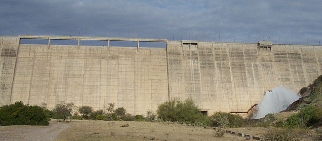
WATER COURSE: Río Pichanas
HEIGHT OF THE DAM: 53.30 mts.
SURFACE (at Landfill Level): 440 ha.
VOLUME (the Landfill Level): 66 Hm3.
GEOGRAPHICAL COORDINATES: Lat: 30º 50 'S. - Long: 65º 08' W.
PURPOSE: Flood Control, Irrigation
CONSTRUCTION: 1966 - 1978
LONG. OF CORONAMIENTO: 258 mts.
MAXIMUM VOLUME: 79 Hm3
ANNUAL MODULE: 2.0 m3 / sec. (Series 1944 - 1980)
TYPE OF DAMPER: Concrete, Buttresses.
PROJECT: Water and Energy.
CONSTITUENT MATERIALS: Concrete.
NATURE OF THE GROUND ON WHICH THE PRESA IS SUPPORTED: Rock crystalline and granite schist.
HYDROMETEOROLOGICAL INFORMATION:
AREA OF THE BASIN OF A FOOD: 1300 km2.
ANNUAL AVERAGE RAIN IN THE BASIN: 500 mm. (rain).


